

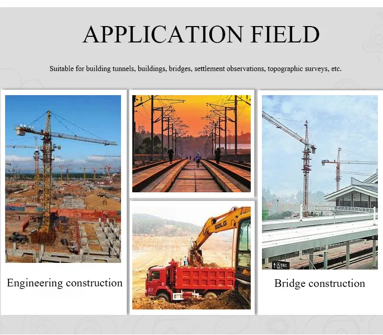
Home > Products > Geographic Surveying Instrument > Most Professional Instrument Electronic Total Station


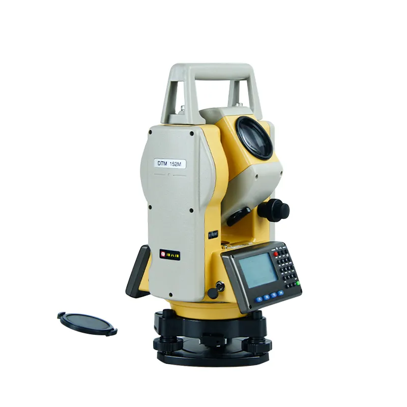
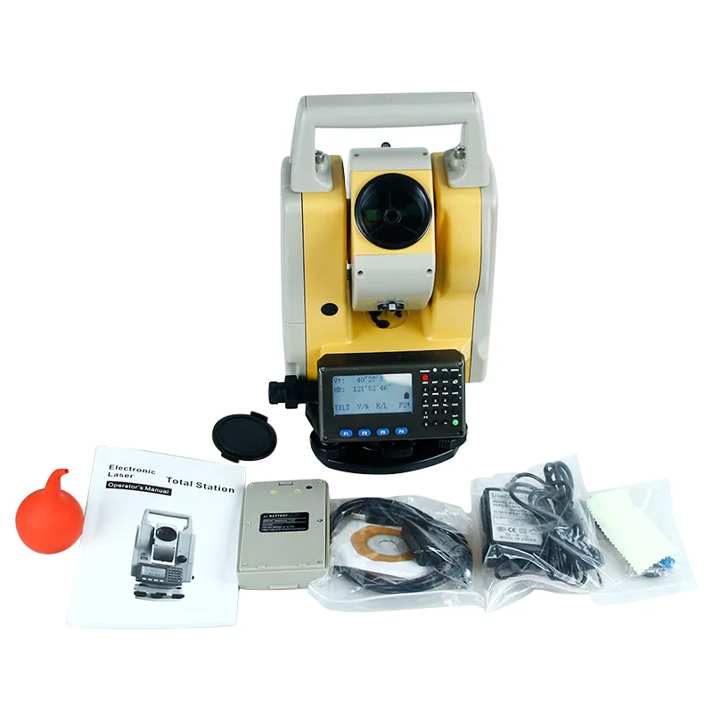
Most Professional Instrument Electronic Total Station
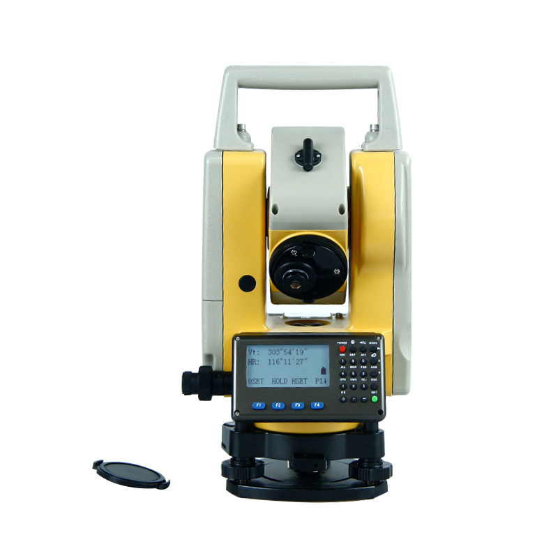
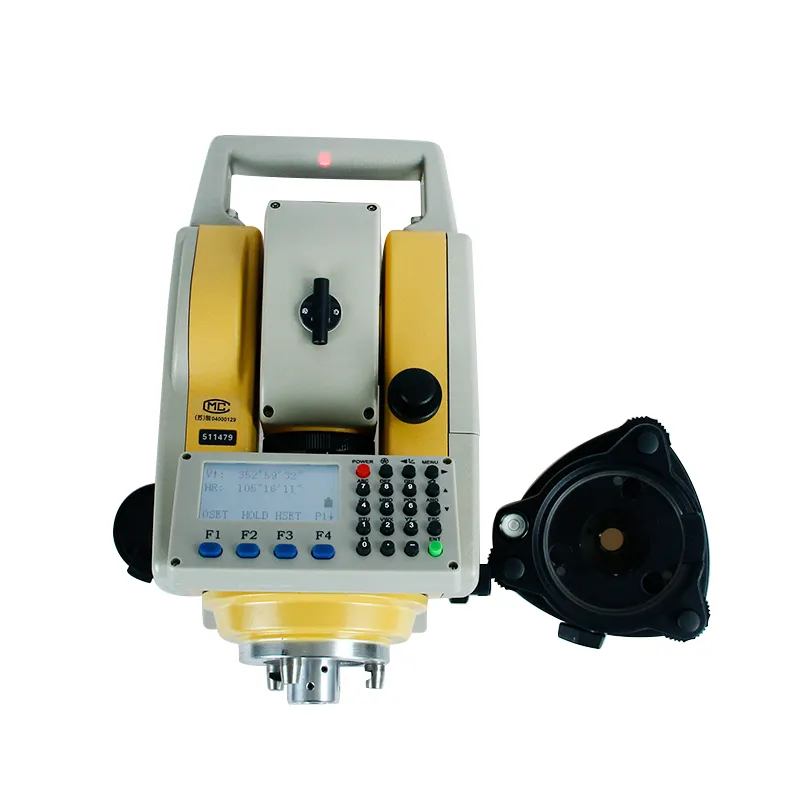
Models and technical parametersTS1-1 Distance without prism300m/500mWith prismsigle prism 3000m,Triangular prism5000m Accuracywithout prism±(5mm+3ppm·D)with prism±(2mm+2ppm·D), ± (3mm+2ppm·D)unit(m)/(ft)Displaymax99999999.9999mmin0.1m......
Send Inquiry
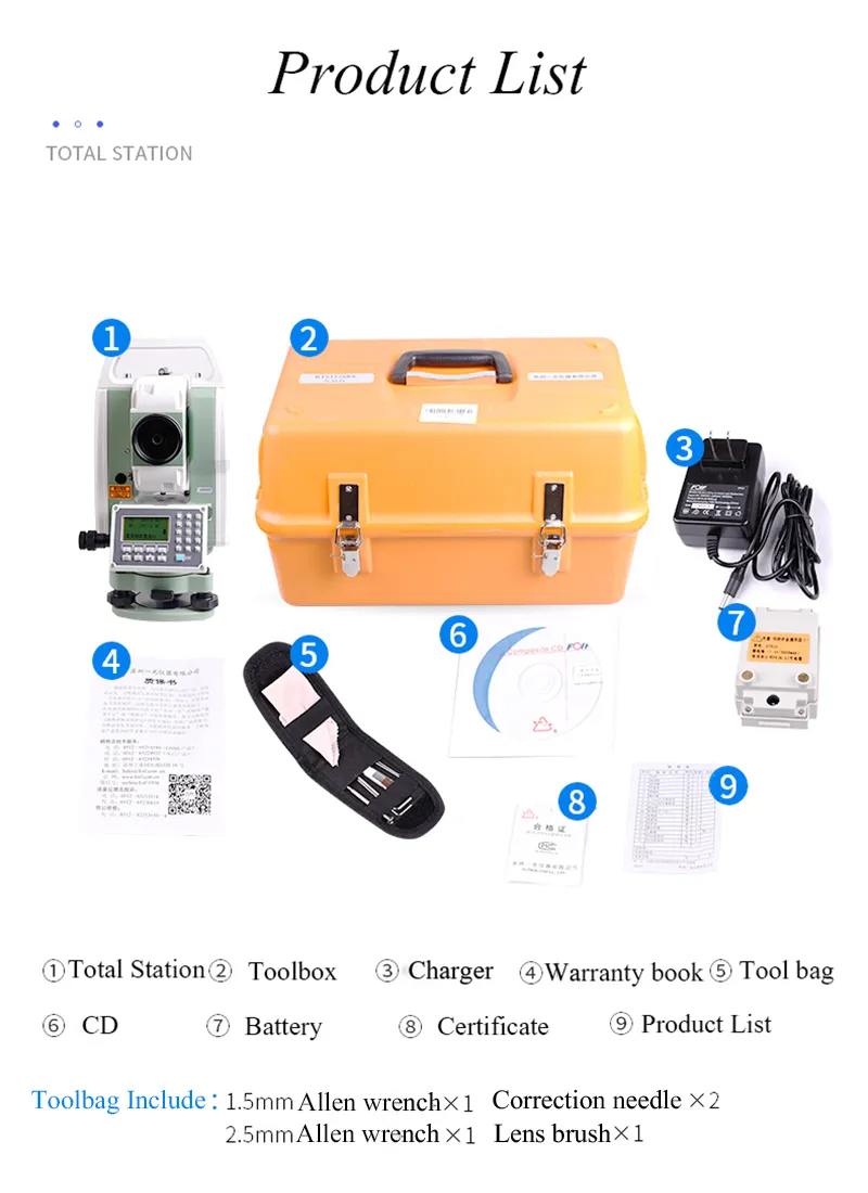
Product Description

| Models and technical parameters | TS1-1 | |
| Distance | without prism | 300m/500m |
| With prism | sigle prism 3000m,Triangular prism5000m | |
| Accuracy | without prism | ±(5mm+3ppm·D) |
| with prism | ±(2mm+2ppm·D), ± (3mm+2ppm·D) | |
| unit | (m)/(ft) | |
| Display | max | 99999999.9999m |
| min | 0.1mm | |
| Normal measurement | 1'(normal)0.8'(quick) | |
| Measurement time | 1~99 | |
| Angel measurement | ||
| Angle measurement mode | absolute angle encoder system | |
| Diameter | 79mm | |
| minimun reading | 1'' | |
| TEST | Horizontal scale | pair-radius reading |
| Vertical scale | pair-radius reading | |
| Accuracy | 2'' | |
| Telescope | ||
| Imgaing | Erect | |
| Tube length | 170mm | |
| Objective aperture | 48mm | |
| Magnification | 30X | |
| Field of view | 1.5° | |
| Resolution | 3.5'' | |
| Minimum of focusing distance | 1.5m | |
| Compensation | ||
| system | Single /dual spindle | |
| Conpensation range | ±3' | |
| resolution | 1'' | |
| Dispaly | ||
| type | Double LCD display | |
| Date transmission | ||
| Interface | USB,RS-232C | |
| Storage | 40,000 POINTS | |
| Other | ||
| Device | optical/laser | |
| Power | Rechargeable lithium battery,DC7.4V,4000mAh | |
| Continuous-time | 8 hours | |
| Size | 174X207X383mm | |
| Weight | 6.8kg | |
| Working temperture | -20ºC~50ºC | |


Related Category
Meter for Liquid & Gas
Weighing & Measuring Apparatus
Meter for Electricity
Pressure Gauge
Geographic Surveying Instrument
Electronic Scale
Measuring Device
Water Meter
Physical Measuring Meter
Thermometer & Hygrometer
Energy Meter & Power Meter
Multimeter
Send Inquiry
Please Feel free to give your inquiry in the form below. We will reply you in 24 hours.

")


")