

Home > Products > Geographic Surveying Instrument > Cheap Theodolite for Surveying Total Station Theodolite

Cheap Theodolite for Surveying Total Station Theodolite
Laser Electronic TheodoliteThe high-value, low-cost surveying instruments are designed specifically for construction and geographic measurement. Models and technical parametersHBD-DJD2-JTelescopeMagnification30XImagingErectShortest viewing distance1.3mAngle measurementMinimum count1"/5"/10......
Send Inquiry
Product Description
 Laser Electronic Theodolite
The high-value, low-cost surveying instruments are designed specifically for construction and geographic measurement.
| Models and technical parameters | HBD-DJD2-J | |||
| Telescope | Magnification | 30X | ||
| Imaging | Erect | |||
| Shortest viewing distance | 1.3m | |||
| Angle measurement | Minimum count | 1"/5"/10" | ||
| Accuracy | 2" | |||
| Laser device | Power | 5mW | ||
| Measurement distance | 180(day)/800(night) | |||
| Laser spot diameter | 5mm/100m | |||
| Laser axial accuracy | ≤5" | |||
| Compensation | Compensation range | ±3′ | ||
| Minimum count | 1″/5″/10″ | |||
| Data communication | Data output interface | Yes | ||
| Light | LCD | Yes | ||
| Level bubble | Long level | 30″/2mm | ||
| Circle level | 8′/2mm | |||
| Power | Battery | 6V 2000mAh | ||
| Working time | 38 hours | |||
| Size | Product high | 179.5mm | ||
| Package size | 144*175*324mm | |||
| Weight | 4.8kg | |||


Related Category
Meter for Liquid & Gas
Weighing & Measuring Apparatus
Meter for Electricity
Pressure Gauge
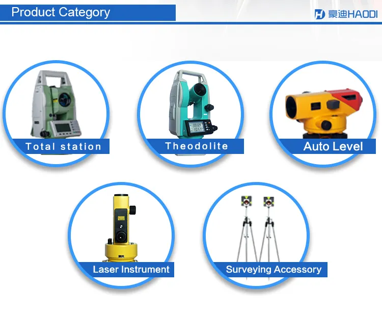
Geographic Surveying Instrument
Electronic Scale
Measuring Device
Water Meter
Physical Measuring Meter
Thermometer & Hygrometer
Energy Meter & Power Meter
Multimeter
Send Inquiry
Please Feel free to give your inquiry in the form below. We will reply you in 24 hours.

")


")